Cycle track/footpath from Faraday Road to Dorcan Way, Swindon
Introduction
The photograph on this page of Cycle track/footpath from Faraday Road to Dorcan Way, Swindon by Brian Robert Marshall as part of the Geograph project.
The Geograph project started in 2005 with the aim of publishing, organising and preserving representative images for every square kilometre of Great Britain, Ireland and the Isle of Man.

There are currently over 7.5m images from over 14,400 individuals and you can help contribute to the project by visiting https://www.geograph.org.uk
Cycle track/footpath from Faraday Road to Dorcan Way, Swindon
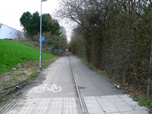
Image: © Brian Robert Marshall Taken: 1 Jan 2007
The cycle track terminates in the distance at SU186843 over 500 metres from the viewing point.
Images are licensed for reuse under creativecommons.org/licenses/by-sa/2.0
Image Location
Latitude
51.558159
Longitude
-1.724443