Flooded road
Introduction
The photograph on this page of Flooded road by Emma White as part of the Geograph project.
The Geograph project started in 2005 with the aim of publishing, organising and preserving representative images for every square kilometre of Great Britain, Ireland and the Isle of Man.

There are currently over 7.5m images from over 14,400 individuals and you can help contribute to the project by visiting https://www.geograph.org.uk
Flooded road
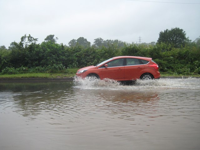
Image: © Emma White Taken: 7 Jul 2012
A main road into the centre of Ottery St Mary in Devon was partially blocked by floods in July 2012
Images are licensed for reuse under creativecommons.org/licenses/by-sa/2.0
Image Location


Leaflet Map data © OpenStreetMap
Latitude
50.748467
Longitude
-3.288411