Dorking from White Downs
Introduction
The photograph on this page of Dorking from White Downs by Ian Capper as part of the Geograph project.
The Geograph project started in 2005 with the aim of publishing, organising and preserving representative images for every square kilometre of Great Britain, Ireland and the Isle of Man.

There are currently over 7.5m images from over 14,400 individuals and you can help contribute to the project by visiting https://www.geograph.org.uk
Dorking from White Downs
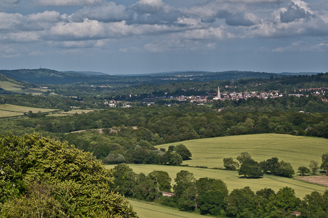
Image: © Ian Capper Taken: 30 Jun 2012
Looking towards Dorking from White Downs, with the spire of St Martin's Church prominent. On the far left of the photo can be seen Reigate Hill, with its TV transmitter prominent.
Images are licensed for reuse under creativecommons.org/licenses/by-sa/2.0
Image Location
Latitude
51.235397
Longitude
-0.325497