Cotterton
Introduction
The photograph on this page of Cotterton by Anne Burgess as part of the Geograph project.
The Geograph project started in 2005 with the aim of publishing, organising and preserving representative images for every square kilometre of Great Britain, Ireland and the Isle of Man.

There are currently over 7.5m images from over 14,400 individuals and you can help contribute to the project by visiting https://www.geograph.org.uk
Cotterton
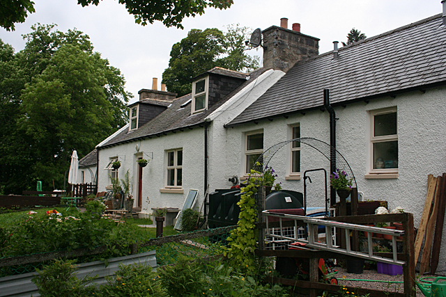
Image: © Anne Burgess Taken: 6 Jul 2012
Cotterton is a common name for rows of farm cottages like these. Originally they would have been more or less tied cottages for married farm workers and their families.
Images are licensed for reuse under creativecommons.org/licenses/by-sa/2.0
Image Location
Latitude
57.489107
Longitude
-3.054047