King Street, West Malling
Introduction
The photograph on this page of King Street, West Malling by Marathon as part of the Geograph project.
The Geograph project started in 2005 with the aim of publishing, organising and preserving representative images for every square kilometre of Great Britain, Ireland and the Isle of Man.

There are currently over 7.5m images from over 14,400 individuals and you can help contribute to the project by visiting https://www.geograph.org.uk
King Street, West Malling
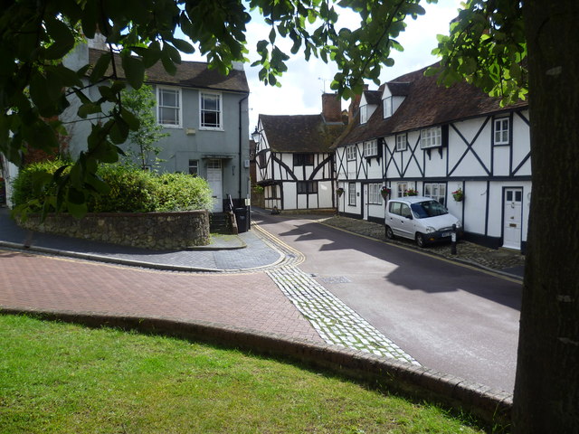
Image: © Marathon Taken: 6 Jul 2012
West Malling was established shortly after 1100 and today's town centre retains its medieval plan with many 17th and 18th century facades hiding much older buildings. This view is at the northern end where King Street leads off High Street. The small green on which I was standing has the sculpture of 'Hope' on it - see http://www.geograph.org.uk/photo/3026289
Images are licensed for reuse under creativecommons.org/licenses/by-sa/2.0
Image Location
Latitude
51.29543
Longitude
0.408949