Grossmoor Bank
Introduction
The photograph on this page of Grossmoor Bank by Trevor Littlewood as part of the Geograph project.
The Geograph project started in 2005 with the aim of publishing, organising and preserving representative images for every square kilometre of Great Britain, Ireland and the Isle of Man.

There are currently over 7.5m images from over 14,400 individuals and you can help contribute to the project by visiting https://www.geograph.org.uk
Grossmoor Bank
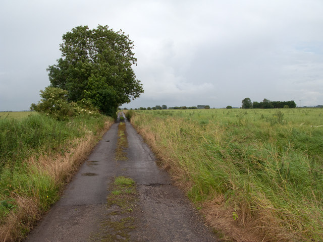
Image: © Trevor Littlewood Taken: 4 Jul 2012
Grossmoor Bank is named as such on OS maps at the largest scale; it's also mapped as an 'other route with public access'. The road ends, behind the camera position, at a property that was once on the route of a now fully dismantled railway.
Images are licensed for reuse under creativecommons.org/licenses/by-sa/2.0
Image Location
Latitude
53.65421
Longitude
-0.847935