Thames floodplain
Introduction
The photograph on this page of Thames floodplain by Alan Hunt as part of the Geograph project.
The Geograph project started in 2005 with the aim of publishing, organising and preserving representative images for every square kilometre of Great Britain, Ireland and the Isle of Man.

There are currently over 7.5m images from over 14,400 individuals and you can help contribute to the project by visiting https://www.geograph.org.uk
Thames floodplain
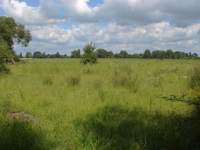
Image: © Alan Hunt Taken: 5 Jul 2012
A large area of fallow ground on the Thames floodplain from the footpath through the Thorpe Hay Meadow. The Thames is about 700 metres away behind the trees in the distance.
Images are licensed for reuse under creativecommons.org/licenses/by-sa/2.0
Image Location
Latitude
51.421563
Longitude
-0.520779