Field, Egham Hythe
Introduction
The photograph on this page of Field, Egham Hythe by Alan Hunt as part of the Geograph project.
The Geograph project started in 2005 with the aim of publishing, organising and preserving representative images for every square kilometre of Great Britain, Ireland and the Isle of Man.

There are currently over 7.5m images from over 14,400 individuals and you can help contribute to the project by visiting https://www.geograph.org.uk
Field, Egham Hythe
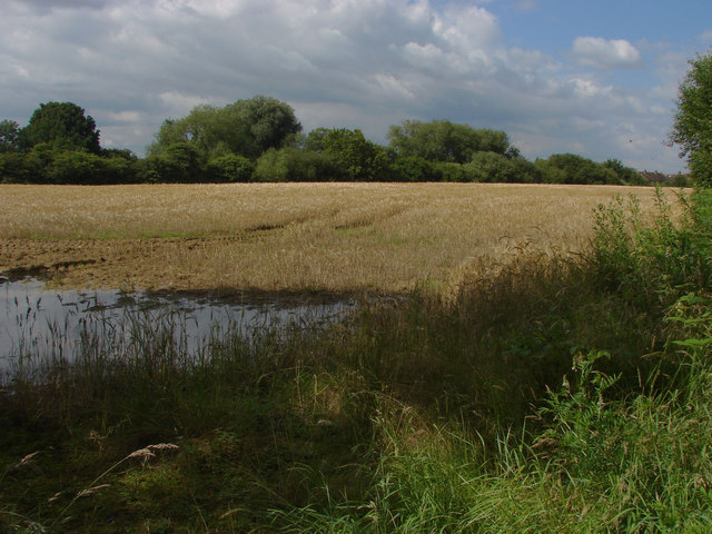
Image: © Alan Hunt Taken: 5 Jul 2012
A crop field on the floodplain of the River Thames. In the corner can be seen evidence of the wettest June since the last wettest June.
Images are licensed for reuse under creativecommons.org/licenses/by-sa/2.0
Image Location
Latitude
51.422223
Longitude
-0.523203