Farmland west of Denton
Introduction
The photograph on this page of Farmland west of Denton by Trevor Rickard as part of the Geograph project.
The Geograph project started in 2005 with the aim of publishing, organising and preserving representative images for every square kilometre of Great Britain, Ireland and the Isle of Man.

There are currently over 7.5m images from over 14,400 individuals and you can help contribute to the project by visiting https://www.geograph.org.uk
Farmland west of Denton
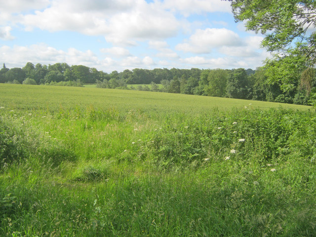
Image: © Trevor Rickard Taken: 1 Jul 2012
From the trackbed of the former Denton ironstone quarries branch line, looking south across rolling farmland to what was once the parkland of Denton Manor.
Images are licensed for reuse under creativecommons.org/licenses/by-sa/2.0
Image Location
Latitude
52.886082
Longitude
-0.725276