Riddlesdown Road
Introduction
The photograph on this page of Riddlesdown Road by Marathon as part of the Geograph project.
The Geograph project started in 2005 with the aim of publishing, organising and preserving representative images for every square kilometre of Great Britain, Ireland and the Isle of Man.

There are currently over 7.5m images from over 14,400 individuals and you can help contribute to the project by visiting https://www.geograph.org.uk
Riddlesdown Road
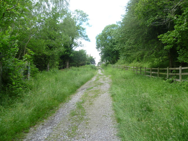
Image: © Marathon Taken: 4 Jul 2012
Riddlesdown Road is more of a track than a road and leads from Godstone Road (A22) up to Riddlesdown. Here it is followed by the London LOOP, a 152 mile circular walk around London's Green Belt.
Images are licensed for reuse under creativecommons.org/licenses/by-sa/2.0
Image Location
Latitude
51.320862
Longitude
-0.087022