Recreation ground off Stafford Road
Introduction
The photograph on this page of Recreation ground off Stafford Road by Marathon as part of the Geograph project.
The Geograph project started in 2005 with the aim of publishing, organising and preserving representative images for every square kilometre of Great Britain, Ireland and the Isle of Man.

There are currently over 7.5m images from over 14,400 individuals and you can help contribute to the project by visiting https://www.geograph.org.uk
Recreation ground off Stafford Road
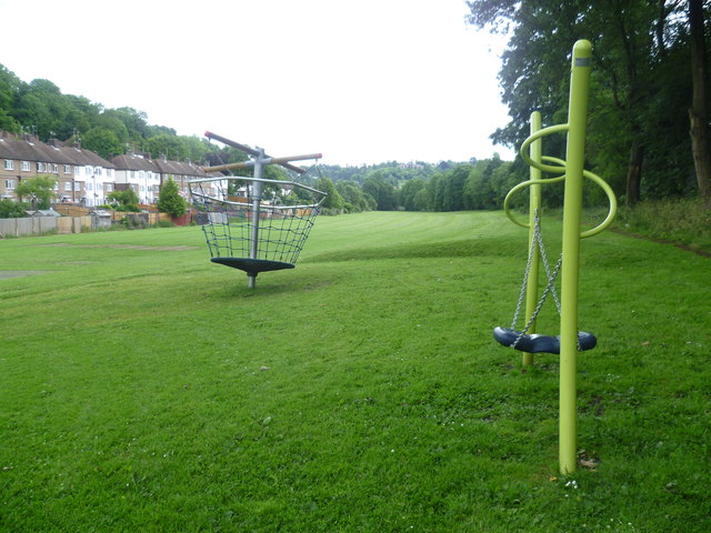
Image: © Marathon Taken: 4 Jul 2012
A footpath from Stafford Road leads past this recreation ground on its way over the railway line and on to Croydon Road. This is the flat bottom of the steep sided Caterham Valley.
Images are licensed for reuse under creativecommons.org/licenses/by-sa/2.0
Image Location
Latitude
51.291723
Longitude
-0.075899