View from Burntwood Lane of horses grazing in field
Introduction
The photograph on this page of View from Burntwood Lane of horses grazing in field by Marathon as part of the Geograph project.
The Geograph project started in 2005 with the aim of publishing, organising and preserving representative images for every square kilometre of Great Britain, Ireland and the Isle of Man.

There are currently over 7.5m images from over 14,400 individuals and you can help contribute to the project by visiting https://www.geograph.org.uk
View from Burntwood Lane of horses grazing in field
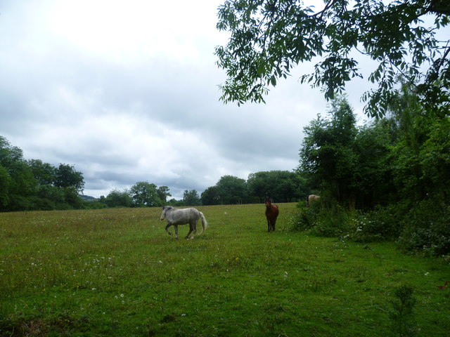
Image: © Marathon Taken: 4 Jul 2012
This is near the top of the steep-sided Caterham Valley, just before De Stafford College is reached.
Images are licensed for reuse under creativecommons.org/licenses/by-sa/2.0
Image Location
Latitude
51.291637
Longitude
-0.08164