Nea Road, Highcliffe, Dorset
Introduction
The photograph on this page of Nea Road, Highcliffe, Dorset by mike smith as part of the Geograph project.
The Geograph project started in 2005 with the aim of publishing, organising and preserving representative images for every square kilometre of Great Britain, Ireland and the Isle of Man.

There are currently over 7.5m images from over 14,400 individuals and you can help contribute to the project by visiting https://www.geograph.org.uk
Nea Road, Highcliffe, Dorset
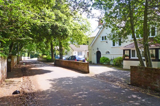
Image: © mike smith Taken: 5 Jul 2012
Nea Road is named after the Nea Farm which used to occupy this area until the early 20th century.
Images are licensed for reuse under creativecommons.org/licenses/by-sa/2.0
Image Location
Latitude
50.742106
Longitude
-1.713383