Caff? Nero, Church Road
Introduction
The photograph on this page of Caff? Nero, Church Road by Simon Carey as part of the Geograph project.
The Geograph project started in 2005 with the aim of publishing, organising and preserving representative images for every square kilometre of Great Britain, Ireland and the Isle of Man.

There are currently over 7.5m images from over 14,400 individuals and you can help contribute to the project by visiting https://www.geograph.org.uk
Caff? Nero, Church Road
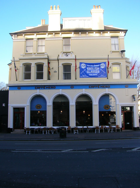
Image: © Simon Carey Taken: 1 Jan 2007
On the corner of Church Road (B2066), one of the major shopping streets of Hove, and The Drive/Grand Avenue (B2186). The house was built in 1877 during the development of the Stanford Estate and houses a modern chain coffee shop downstairs and an English language school upstairs.
Images are licensed for reuse under creativecommons.org/licenses/by-sa/2.0
Image Location
Latitude
50.827474
Longitude
-0.16974