Footpath on the outskirts of Hartfield
Introduction
The photograph on this page of Footpath on the outskirts of Hartfield by Marathon as part of the Geograph project.
The Geograph project started in 2005 with the aim of publishing, organising and preserving representative images for every square kilometre of Great Britain, Ireland and the Isle of Man.

There are currently over 7.5m images from over 14,400 individuals and you can help contribute to the project by visiting https://www.geograph.org.uk
Footpath on the outskirts of Hartfield
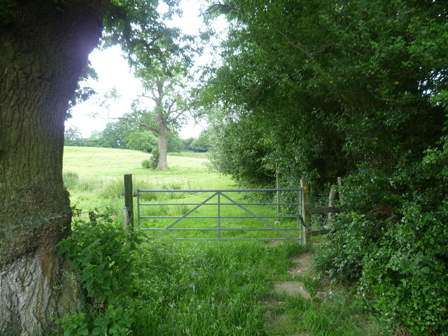
Image: © Marathon Taken: 2 Jul 2012
The footpath leads away from the B2110 on the outskirts of Hartfield and crosses the High Weald Landscape Trail at the far end of the field ahead.
Images are licensed for reuse under creativecommons.org/licenses/by-sa/2.0
Image Location
Latitude
51.101637
Longitude
0.115172