A4043 approaches the Denbridge Road junction south of Cwmavon
Introduction
The photograph on this page of A4043 approaches the Denbridge Road junction south of Cwmavon by Jaggery as part of the Geograph project.
The Geograph project started in 2005 with the aim of publishing, organising and preserving representative images for every square kilometre of Great Britain, Ireland and the Isle of Man.

There are currently over 7.5m images from over 14,400 individuals and you can help contribute to the project by visiting https://www.geograph.org.uk
A4043 approaches the Denbridge Road junction south of Cwmavon
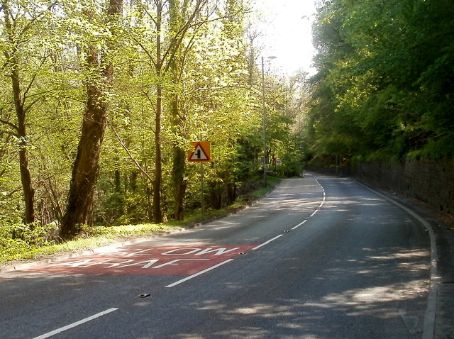
Image: © Jaggery Taken: 28 Apr 2011
A view along the A4043 between Cwmavon and Abersychan. There is a long stone wall at the edge of high ground on the right side of the road. Beyond the left edge of the road, the land slopes down to the Afon Lwyd valley.
Images are licensed for reuse under creativecommons.org/licenses/by-sa/2.0
Image Location
Latitude
51.738919
Longitude
-3.060049