Burnhead Farm, Blairgowrie
Introduction
The photograph on this page of Burnhead Farm, Blairgowrie by Dona Robbins as part of the Geograph project.
The Geograph project started in 2005 with the aim of publishing, organising and preserving representative images for every square kilometre of Great Britain, Ireland and the Isle of Man.

There are currently over 7.5m images from over 14,400 individuals and you can help contribute to the project by visiting https://www.geograph.org.uk
Burnhead Farm, Blairgowrie
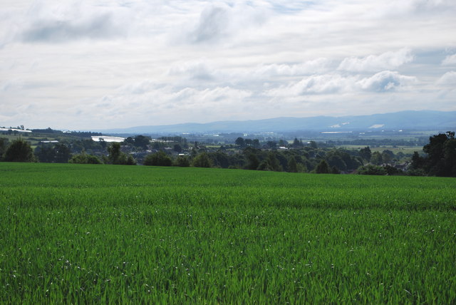
Image: © Dona Robbins Taken: 1 Jul 2012
Overlooking farmland towards the Vale of Strathmore. Sidlaw Hills in the background.
Images are licensed for reuse under creativecommons.org/licenses/by-sa/2.0
Image Location
Latitude
56.596569
Longitude
-3.343067