Finish Line, Cateran Yomp, 2012
Introduction
The photograph on this page of Finish Line, Cateran Yomp, 2012 by Dona Robbins as part of the Geograph project.
The Geograph project started in 2005 with the aim of publishing, organising and preserving representative images for every square kilometre of Great Britain, Ireland and the Isle of Man.

There are currently over 7.5m images from over 14,400 individuals and you can help contribute to the project by visiting https://www.geograph.org.uk
Finish Line, Cateran Yomp, 2012
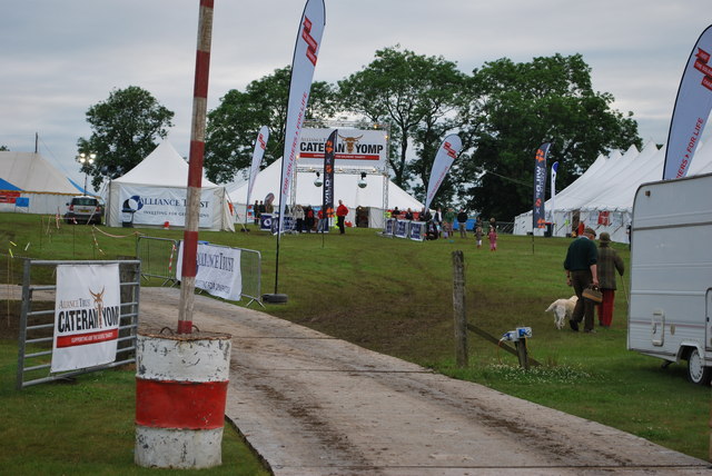
Image: © Dona Robbins Taken: 1 Jul 2012
The last corner for the weary walkers of the Gold Challenge - the complete 52 miles of the Cateran Trail - of the Cateran Yomp. Track laid down to lead to the parking and camping areas.
Images are licensed for reuse under creativecommons.org/licenses/by-sa/2.0
Image Location
Latitude
56.596988
Longitude
-3.34585