Bishops Wood Lane, looking east, near to Crossway Green
Introduction
The photograph on this page of Bishops Wood Lane, looking east, near to Crossway Green by P L Chadwick as part of the Geograph project.
The Geograph project started in 2005 with the aim of publishing, organising and preserving representative images for every square kilometre of Great Britain, Ireland and the Isle of Man.

There are currently over 7.5m images from over 14,400 individuals and you can help contribute to the project by visiting https://www.geograph.org.uk
Bishops Wood Lane, looking east, near to Crossway Green
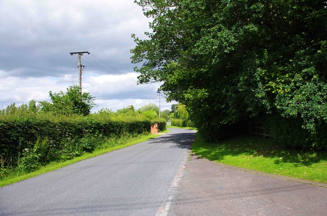
Image: © P L Chadwick Taken: 1 Jul 2012
The lane shortly joins the A4025 road to Stourport-on-Severn. Photographed from outside the entrance to Bishops Wood.
Images are licensed for reuse under creativecommons.org/licenses/by-sa/2.0
Image Location
Latitude
52.314355
Longitude
-2.243902