Queen Elizabeth Abbey School Playing Field
Introduction
The photograph on this page of Queen Elizabeth Abbey School Playing Field by David Anstiss as part of the Geograph project.
The Geograph project started in 2005 with the aim of publishing, organising and preserving representative images for every square kilometre of Great Britain, Ireland and the Isle of Man.

There are currently over 7.5m images from over 14,400 individuals and you can help contribute to the project by visiting https://www.geograph.org.uk
Queen Elizabeth Abbey School Playing Field
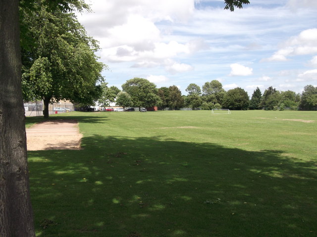
Image: © David Anstiss Taken: 30 Jun 2012
Currently this large playing field is being used to allow underage learner drivers to use a learners car to complete a circuit of the field. This is in aid of raising school funds as part of a school open day. £3 a drive.
Images are licensed for reuse under creativecommons.org/licenses/by-sa/2.0
Image Location
Latitude
51.316489
Longitude
0.896441