Gallows Corner
Introduction
The photograph on this page of Gallows Corner by Robin Webster as part of the Geograph project.
The Geograph project started in 2005 with the aim of publishing, organising and preserving representative images for every square kilometre of Great Britain, Ireland and the Isle of Man.

There are currently over 7.5m images from over 14,400 individuals and you can help contribute to the project by visiting https://www.geograph.org.uk
Gallows Corner
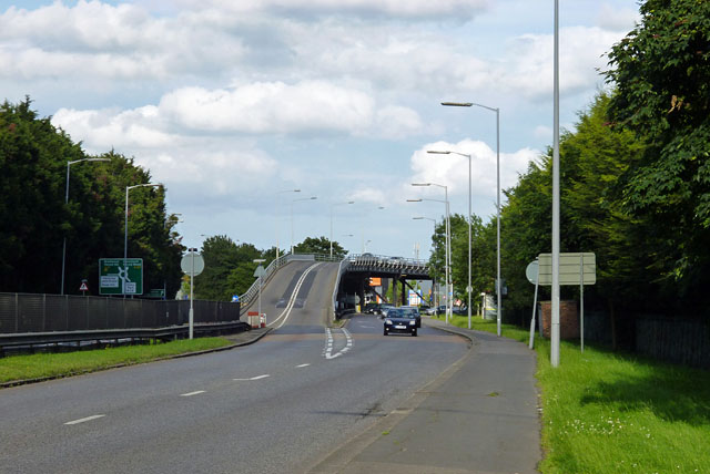
Image: © Robin Webster Taken: 30 Jun 2012
Where the A12 and the A127, the Southend Arterial Road, part company. The A127 optionally avoids the roundabout by using the rather make-shift looking flyover, which nevertheless has been here a very long time now.
Images are licensed for reuse under creativecommons.org/licenses/by-sa/2.0
Image Location
Latitude
51.592758
Longitude
0.212121