A steep path
Introduction
The photograph on this page of A steep path by Richard Webb as part of the Geograph project.
The Geograph project started in 2005 with the aim of publishing, organising and preserving representative images for every square kilometre of Great Britain, Ireland and the Isle of Man.

There are currently over 7.5m images from over 14,400 individuals and you can help contribute to the project by visiting https://www.geograph.org.uk
A steep path
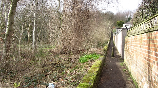
Image: © Richard Webb Taken: 9 Mar 2012
A narrow and steep path runs between the gardens of Oriel Crescent and some woodland which was probably part of Raith Park.
Images are licensed for reuse under creativecommons.org/licenses/by-sa/2.0
Image Location
Latitude
56.112639
Longitude
-3.174829