Nottingham, NG1 (St Peter's Walk)
Introduction
The photograph on this page of Nottingham, NG1 (St Peter's Walk) by David Hallam-Jones as part of the Geograph project.
The Geograph project started in 2005 with the aim of publishing, organising and preserving representative images for every square kilometre of Great Britain, Ireland and the Isle of Man.

There are currently over 7.5m images from over 14,400 individuals and you can help contribute to the project by visiting https://www.geograph.org.uk
Nottingham, NG1 (St Peter's Walk)
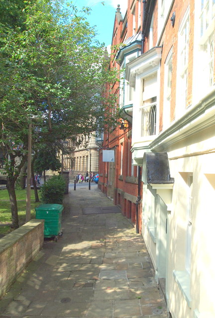
Image: © David Hallam-Jones Taken: 24 Jun 2012
St Peter's Church Walk at its midpoint - parallel with the church's chancel - (the altar end) that is situated on the photographer's left. It looks as though it was possible in the past to cross the graveyard. However, some railings now prevent its use as a "through route", presumably to limit antisocial behaviour? Bank Place can be seen in the distance on the other side of St Peter's Gate.
Images are licensed for reuse under creativecommons.org/licenses/by-sa/2.0
Image Location
Latitude
52.952254
Longitude
-1.14814