St Helen's Grindleford
Introduction
The photograph on this page of St Helen's Grindleford by Stephen Burton as part of the Geograph project.
The Geograph project started in 2005 with the aim of publishing, organising and preserving representative images for every square kilometre of Great Britain, Ireland and the Isle of Man.

There are currently over 7.5m images from over 14,400 individuals and you can help contribute to the project by visiting https://www.geograph.org.uk
St Helen's Grindleford
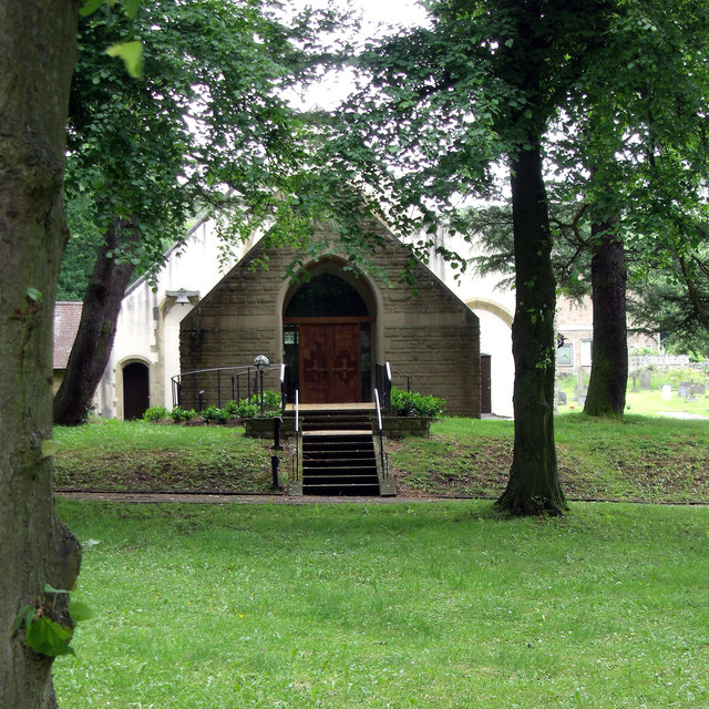
Image: © Stephen Burton Taken: 27 Jun 2012
St Helen's was completed around 1910 with some additional work undertaken in the 1980s.
Images are licensed for reuse under creativecommons.org/licenses/by-sa/2.0
Image Location
Latitude
53.297534
Longitude
-1.632383