Hollinwood Lane
Introduction
The photograph on this page of Hollinwood Lane by Hugh Craddock as part of the Geograph project.
The Geograph project started in 2005 with the aim of publishing, organising and preserving representative images for every square kilometre of Great Britain, Ireland and the Isle of Man.

There are currently over 7.5m images from over 14,400 individuals and you can help contribute to the project by visiting https://www.geograph.org.uk
Hollinwood Lane
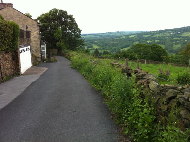
Image: © Hugh Craddock Taken: 14 Jun 2012
Hollinwood Lane is a minor road linking Strines Road and Ridge End via Plucksbridge Road across the Peak Forest Canal. Below the houses on the left, the road is closed to motor traffic, and more characteristic of an enclosed path.
Images are licensed for reuse under creativecommons.org/licenses/by-sa/2.0
Image Location
Latitude
53.376693
Longitude
-2.053172