St Peters Way
Introduction
The photograph on this page of St Peters Way by Glyn Baker as part of the Geograph project.
The Geograph project started in 2005 with the aim of publishing, organising and preserving representative images for every square kilometre of Great Britain, Ireland and the Isle of Man.

There are currently over 7.5m images from over 14,400 individuals and you can help contribute to the project by visiting https://www.geograph.org.uk
St Peters Way
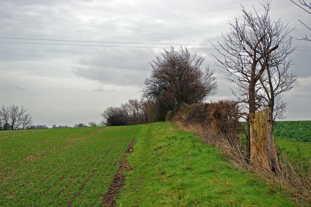
Image: © Glyn Baker Taken: 30 Dec 2006
This is the St Peter’s Way long distance path south of Black House Court Farm looking towards Tillingham.
Images are licensed for reuse under creativecommons.org/licenses/by-sa/2.0
Image Location
Latitude
51.695532
Longitude
0.821166