Path to Colyford
Introduction
The photograph on this page of Path to Colyford by Derek Harper as part of the Geograph project.
The Geograph project started in 2005 with the aim of publishing, organising and preserving representative images for every square kilometre of Great Britain, Ireland and the Isle of Man.

There are currently over 7.5m images from over 14,400 individuals and you can help contribute to the project by visiting https://www.geograph.org.uk
Path to Colyford
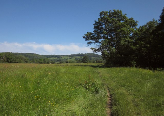
Image: © Derek Harper Taken: 19 Jun 2012
Colyton Footpath 27 crosses a water meadow on the Coly flood plain, with the river winding amidst trees on the right.
Images are licensed for reuse under creativecommons.org/licenses/by-sa/2.0
Image Location


Leaflet Map data © OpenStreetMap
Latitude
50.732587
Longitude
-3.061537