River Coly
Introduction
The photograph on this page of River Coly by Derek Harper as part of the Geograph project.
The Geograph project started in 2005 with the aim of publishing, organising and preserving representative images for every square kilometre of Great Britain, Ireland and the Isle of Man.

There are currently over 7.5m images from over 14,400 individuals and you can help contribute to the project by visiting https://www.geograph.org.uk
River Coly
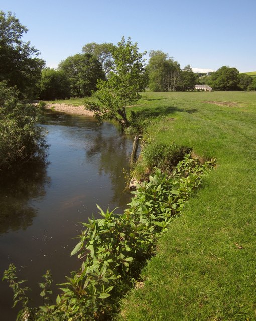
Image: © Derek Harper Taken: 19 Jun 2012
On the East Devon Way and Colyton Footpath 7, running beside the river along water meadows towards Image A dingle slip-off slope is just upstream, I the foreground, Himalayan balsam is starting to take over.
Images are licensed for reuse under creativecommons.org/licenses/by-sa/2.0
Image Location
Latitude
50.738049
Longitude
-3.064211