Hanwood Heights, Dundonald
Introduction
The photograph on this page of Hanwood Heights, Dundonald by Albert Bridge as part of the Geograph project.
The Geograph project started in 2005 with the aim of publishing, organising and preserving representative images for every square kilometre of Great Britain, Ireland and the Isle of Man.

There are currently over 7.5m images from over 14,400 individuals and you can help contribute to the project by visiting https://www.geograph.org.uk
Hanwood Heights, Dundonald
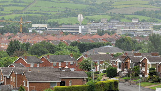
Image: © Albert Bridge Taken: 26 Jun 2012
Suburban houses, on the northern side of the Old Dundonald Road, seen from a height on the Ballyhanwood Road Image This water tower Image can be seen in the background.
Images are licensed for reuse under creativecommons.org/licenses/by-sa/2.0
Image Location
Latitude
54.587994
Longitude
-5.813583