Mayfield Valley
Introduction
The photograph on this page of Mayfield Valley by Lera Miles as part of the Geograph project.
The Geograph project started in 2005 with the aim of publishing, organising and preserving representative images for every square kilometre of Great Britain, Ireland and the Isle of Man.

There are currently over 7.5m images from over 14,400 individuals and you can help contribute to the project by visiting https://www.geograph.org.uk
Mayfield Valley
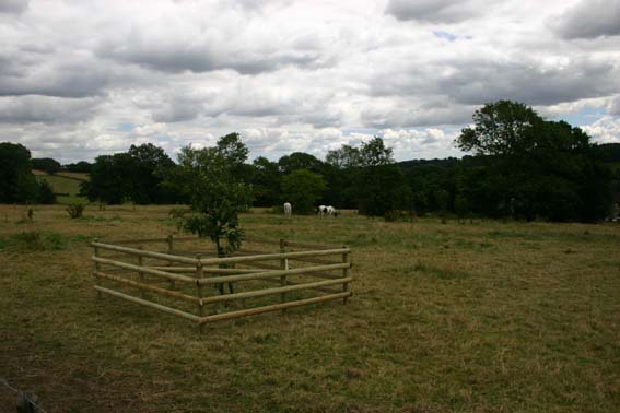
Image: © Lera Miles Taken: 18 Jul 2005
View over Michael Willson's grave, with new fence to protect the apple tree from the horses.
Images are licensed for reuse under creativecommons.org/licenses/by-sa/2.0
Image Location


Leaflet Map data © OpenStreetMap
Latitude
53.365552
Longitude
-1.558148