Pengarnddu bridge, Dowlais Top
Introduction
The photograph on this page of Pengarnddu bridge, Dowlais Top by Robin Drayton as part of the Geograph project.
The Geograph project started in 2005 with the aim of publishing, organising and preserving representative images for every square kilometre of Great Britain, Ireland and the Isle of Man.

There are currently over 7.5m images from over 14,400 individuals and you can help contribute to the project by visiting https://www.geograph.org.uk
Pengarnddu bridge, Dowlais Top
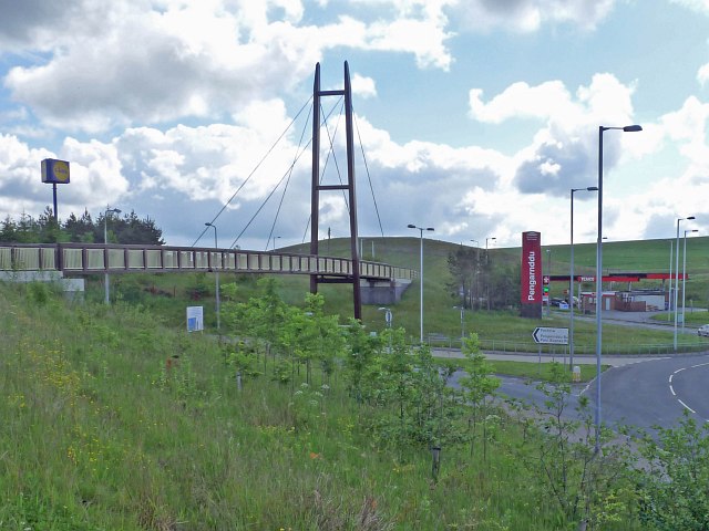
Image: © Robin Drayton Taken: 18 Jun 2012
This walking and cycling bridge was opened on 7th December 2011. It is on the Heads of the Valleys section of National Cycle Route 46.
Images are licensed for reuse under creativecommons.org/licenses/by-sa/2.0
Image Location
Latitude
51.76612
Longitude
-3.337473