Footbridge across the Llynfi to a former railway embankment, Nantyffyllon
Introduction
The photograph on this page of Footbridge across the Llynfi to a former railway embankment, Nantyffyllon by Jaggery as part of the Geograph project.
The Geograph project started in 2005 with the aim of publishing, organising and preserving representative images for every square kilometre of Great Britain, Ireland and the Isle of Man.

There are currently over 7.5m images from over 14,400 individuals and you can help contribute to the project by visiting https://www.geograph.org.uk
Footbridge across the Llynfi to a former railway embankment, Nantyffyllon
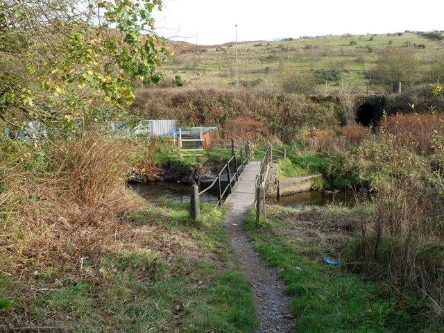
Image: © Jaggery Taken: 17 Nov 2011
Viewed from the High Street side looking towards an embankment that formerly carried a railway.
Images are licensed for reuse under creativecommons.org/licenses/by-sa/2.0
Image Location
Latitude
51.618659
Longitude
-3.66103