Sharp bend in the track
Introduction
The photograph on this page of Sharp bend in the track by Eric Jones as part of the Geograph project.
The Geograph project started in 2005 with the aim of publishing, organising and preserving representative images for every square kilometre of Great Britain, Ireland and the Isle of Man.

There are currently over 7.5m images from over 14,400 individuals and you can help contribute to the project by visiting https://www.geograph.org.uk
Sharp bend in the track
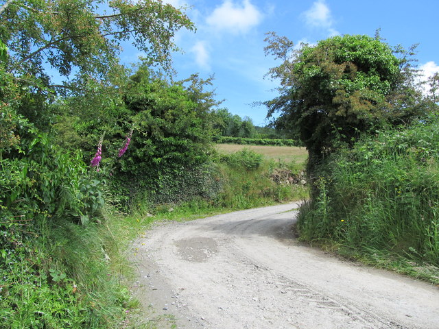
Image: © Eric Jones Taken: 20 Jun 2012
As well as being part of the Ring of Gullion Way/Ulster Way, this track also provides access to a number of houses and farmsteads. http://www.walkni.com/ulsterway/sections/ring-of-gullion-way/
Images are licensed for reuse under creativecommons.org/licenses/by-sa/2.0
Image Location
Latitude
54.073087
Longitude
-6.447139