Lambeth: The 'Queen's Head', Black Prince Road
Introduction
The photograph on this page of Lambeth: The 'Queen's Head', Black Prince Road by Dr Neil Clifton as part of the Geograph project.
The Geograph project started in 2005 with the aim of publishing, organising and preserving representative images for every square kilometre of Great Britain, Ireland and the Isle of Man.

There are currently over 7.5m images from over 14,400 individuals and you can help contribute to the project by visiting https://www.geograph.org.uk
Lambeth: The 'Queen's Head', Black Prince Road
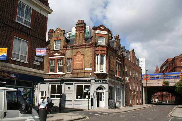
Image: © Dr Neil Clifton Taken: 23 Jun 2012
Whether this is still a pub., or merely a cafe bistro, is uncertain. In the background, the bridge carries the ex-LSWR main line to Waterloo.
Images are licensed for reuse under creativecommons.org/licenses/by-sa/2.0
Image Location
Latitude
51.491523
Longitude
-0.119069