Watford High Street
Introduction
The photograph on this page of Watford High Street by Malc McDonald as part of the Geograph project.
The Geograph project started in 2005 with the aim of publishing, organising and preserving representative images for every square kilometre of Great Britain, Ireland and the Isle of Man.

There are currently over 7.5m images from over 14,400 individuals and you can help contribute to the project by visiting https://www.geograph.org.uk
Watford High Street
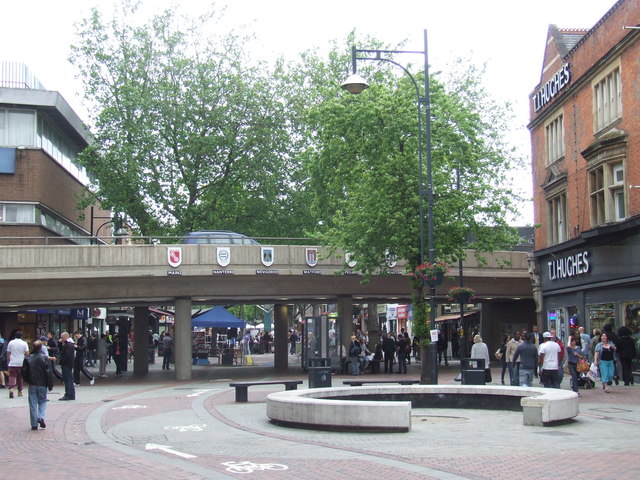
Image: © Malc McDonald Taken: 23 Jun 2012
The High Street in Watford town centre is pedestrianised, apart from a cycle lane. The concrete bridge carries traffic on a ring road over the high street. Watford is twinned with a number of other towns and cities in other countries. Their coats of arms are displayed on the bridge. More information about Watford's twin towns is on Watford Borough council's website http://www.watford.gov.uk/ccm/navigation/leisure-and-culture/tourism-and-travel/town-twinning/
Images are licensed for reuse under creativecommons.org/licenses/by-sa/2.0
Image Location
Latitude
51.657268
Longitude
-0.399051