Damaged benchmark at St. Barnabas Church, Cambridge
Introduction
The photograph on this page of Damaged benchmark at St. Barnabas Church, Cambridge by Meirion as part of the Geograph project.
The Geograph project started in 2005 with the aim of publishing, organising and preserving representative images for every square kilometre of Great Britain, Ireland and the Isle of Man.

There are currently over 7.5m images from over 14,400 individuals and you can help contribute to the project by visiting https://www.geograph.org.uk
Damaged benchmark at St. Barnabas Church, Cambridge
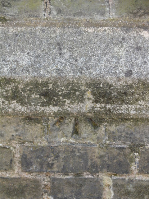
Image: © Meirion Taken: 28 May 2012
This damaged benchmark is located on the NE face buttress of St. Barnabas Church in Cambridge. The mark is not shown in the current Ordnance Survey database but it shown on an 1903 map of the area at a height of 25.8ft. above the Liverpool datum.
Images are licensed for reuse under creativecommons.org/licenses/by-sa/2.0
Image Location
Latitude
52.199726
Longitude
0.137728