Rolle Road - Great Torrington
Introduction
The photograph on this page of Rolle Road - Great Torrington by Barrie Cann as part of the Geograph project.
The Geograph project started in 2005 with the aim of publishing, organising and preserving representative images for every square kilometre of Great Britain, Ireland and the Isle of Man.

There are currently over 7.5m images from over 14,400 individuals and you can help contribute to the project by visiting https://www.geograph.org.uk
Rolle Road - Great Torrington
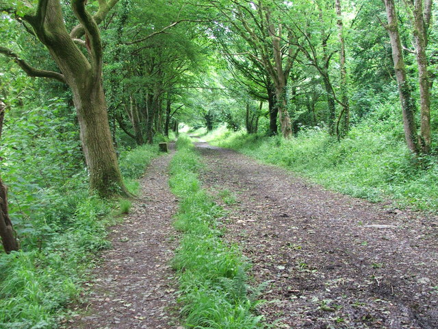
Image: © Barrie Cann Taken: 17 Jun 2012
This track is called Rolle Road, and follows the line of the former Rolle Canal, which ran along adjacent to the Torridge. This was built for Lord Rolle between 1820 and 1824 and stretched for 7.5 miles/12 km between the tidal Torridge and Heasland Moor, a little upstream from Torrington. It was abandoned with the coming of the railway in the 1870s, some of its course being used for the railway, but here it was filled in and used as a road. It offers an opportunity to travel along the flat from the bridge upstream from Torrington to Taddiport, rather than climb the steep hill up into Torrington town
Images are licensed for reuse under creativecommons.org/licenses/by-sa/2.0
Image Location


Leaflet Map data © OpenStreetMap
Latitude
50.94902
Longitude
-4.148994