Westcliff Terrace, Seaton
Introduction
The photograph on this page of Westcliff Terrace, Seaton by Derek Harper as part of the Geograph project.
The Geograph project started in 2005 with the aim of publishing, organising and preserving representative images for every square kilometre of Great Britain, Ireland and the Isle of Man.

There are currently over 7.5m images from over 14,400 individuals and you can help contribute to the project by visiting https://www.geograph.org.uk
Westcliff Terrace, Seaton
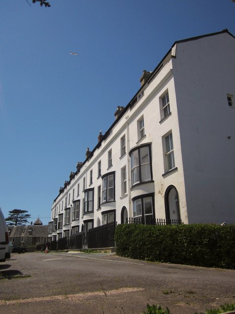
Image: © Derek Harper Taken: 19 Jun 2012
The C19 terrace of eight houses occupies a fine prominent position with sea views. A description is at http://www.britishlistedbuildings.co.uk/en-87578-westcliff-terrace-1-8-seaton . Taken from the inland variant of the coast path following Seaton Footpath 10 as it reaches the head of Image
Images are licensed for reuse under creativecommons.org/licenses/by-sa/2.0
Image Location
Latitude
50.704029
Longitude
-3.076894