The Chine, Seaton
Introduction
The photograph on this page of The Chine, Seaton by Derek Harper as part of the Geograph project.
The Geograph project started in 2005 with the aim of publishing, organising and preserving representative images for every square kilometre of Great Britain, Ireland and the Isle of Man.

There are currently over 7.5m images from over 14,400 individuals and you can help contribute to the project by visiting https://www.geograph.org.uk
The Chine, Seaton
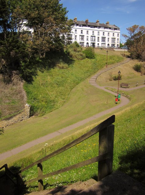
Image: © Derek Harper Taken: 19 Jun 2012
A steep little valley that runs down to the beach, overlooked by the listed C19 Westcliff Terrace http://www.britishlistedbuildings.co.uk/en-87578-westcliff-terrace-1-8-seaton . Seaton Footpath 10 drops down this steep flight of steps in the foreground and then climbs The Chine, carrying the inland route of the South West Coast Path. I sat on that bench to eat a sandwich.
Images are licensed for reuse under creativecommons.org/licenses/by-sa/2.0
Image Location
Latitude
50.703579
Longitude
-3.076884