New houses in Seaton
Introduction
The photograph on this page of New houses in Seaton by Derek Harper as part of the Geograph project.
The Geograph project started in 2005 with the aim of publishing, organising and preserving representative images for every square kilometre of Great Britain, Ireland and the Isle of Man.

There are currently over 7.5m images from over 14,400 individuals and you can help contribute to the project by visiting https://www.geograph.org.uk
New houses in Seaton
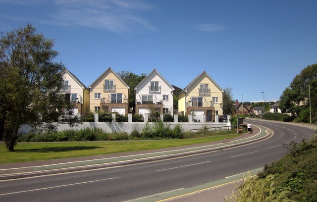
Image: © Derek Harper Taken: 19 Jun 2012
Looking across The Underfleet to four recent properties at the end of Marsh Road, fronted by a green around which the B3172 curves.
Images are licensed for reuse under creativecommons.org/licenses/by-sa/2.0
Image Location
Latitude
50.706528
Longitude
-3.069162