High Tide at Putney Bridge
Introduction
The photograph on this page of High Tide at Putney Bridge by Rick Hall as part of the Geograph project.
The Geograph project started in 2005 with the aim of publishing, organising and preserving representative images for every square kilometre of Great Britain, Ireland and the Isle of Man.

There are currently over 7.5m images from over 14,400 individuals and you can help contribute to the project by visiting https://www.geograph.org.uk
High Tide at Putney Bridge
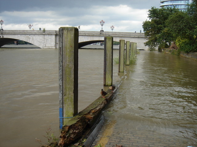
Image: © Rick Hall Taken: 13 Aug 2006
The spring tides can run over the road near Putney, even with the Thames barrier in operation
Images are licensed for reuse under creativecommons.org/licenses/by-sa/2.0
Image Location
Latitude
51.466715
Longitude
-0.217703