By Hook Farm
Introduction
The photograph on this page of By Hook Farm by Colin Smith as part of the Geograph project.
The Geograph project started in 2005 with the aim of publishing, organising and preserving representative images for every square kilometre of Great Britain, Ireland and the Isle of Man.

There are currently over 7.5m images from over 14,400 individuals and you can help contribute to the project by visiting https://www.geograph.org.uk
By Hook Farm
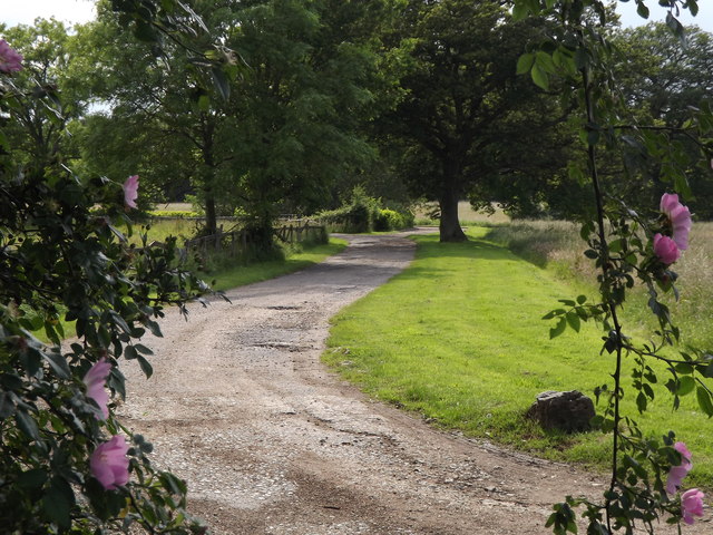
Image: © Colin Smith Taken: 20 Jun 2012
Loose / light surfaced lane in Wood Street Village, west of Guildford.
Images are licensed for reuse under creativecommons.org/licenses/by-sa/2.0
Image Location
Latitude
51.248007
Longitude
-0.639117