Fairfield Industrial Estate, aerial
Introduction
The photograph on this page of Fairfield Industrial Estate, aerial by Chris as part of the Geograph project.
The Geograph project started in 2005 with the aim of publishing, organising and preserving representative images for every square kilometre of Great Britain, Ireland and the Isle of Man.

There are currently over 7.5m images from over 14,400 individuals and you can help contribute to the project by visiting https://www.geograph.org.uk
Fairfield Industrial Estate, aerial
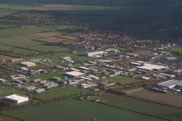
Image: © Chris Taken: 7 Nov 2010
Low centre is the northernmost of the two roundabouts that access the estate from the A16 Louth-Grimsby. Brackenborough Hall is visible top left. Barely visible in the centre is a communications mast, which stands next to the old railway track.
Images are licensed for reuse under creativecommons.org/licenses/by-sa/2.0
Image Location
Latitude
53.380753
Longitude
-0.007376