Old Sodom Lane
Introduction
The photograph on this page of Old Sodom Lane by Roger Cornfoot as part of the Geograph project.
The Geograph project started in 2005 with the aim of publishing, organising and preserving representative images for every square kilometre of Great Britain, Ireland and the Isle of Man.

There are currently over 7.5m images from over 14,400 individuals and you can help contribute to the project by visiting https://www.geograph.org.uk
Old Sodom Lane
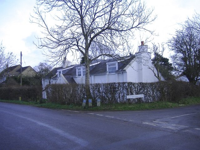
Image: © Roger Cornfoot Taken: 28 Dec 2006
The junction with Dauntsey Green. This lane is now truncated by the M4 motorway.
Images are licensed for reuse under creativecommons.org/licenses/by-sa/2.0
Image Location
Latitude
51.532407
Longitude
-2.008601