OS Bench Mark, Dunkirk Community Centre
Introduction
The photograph on this page of OS Bench Mark, Dunkirk Community Centre by Alan Murray-Rust as part of the Geograph project.
The Geograph project started in 2005 with the aim of publishing, organising and preserving representative images for every square kilometre of Great Britain, Ireland and the Isle of Man.

There are currently over 7.5m images from over 14,400 individuals and you can help contribute to the project by visiting https://www.geograph.org.uk
OS Bench Mark, Dunkirk Community Centre
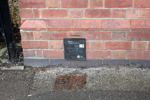
Image: © Alan Murray-Rust Taken: 21 Jun 2012
The horizontal bar is clean, but there is no evidence of even the top of an arrow behind the gas valve plate. Even this is quite old, and I would have thought unlikely to have been sited to cover the mark. Is the bench mark simply the horizontal cut?
Images are licensed for reuse under creativecommons.org/licenses/by-sa/2.0
Image Location
Latitude
52.939906
Longitude
-1.181863