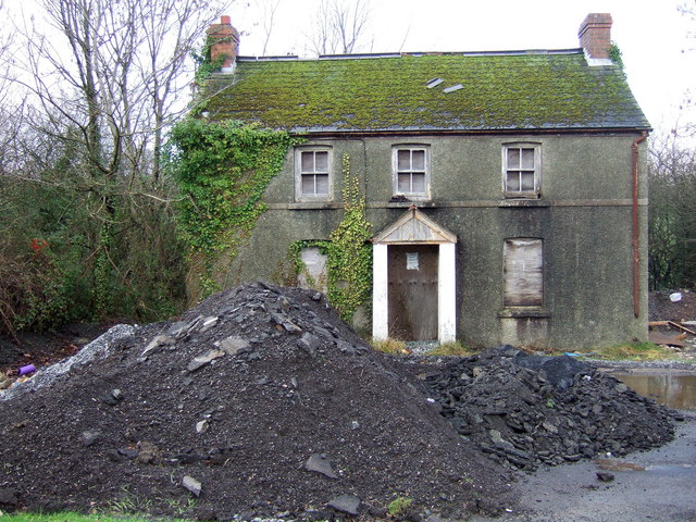
Derelict house on a roundabout
Introduction
The photograph on this page of Derelict house on a roundabout by Natasha Ceridwen de Chroustchoff as part of the Geograph project.
The Geograph project started in 2005 with the aim of publishing, organising and preserving representative images for every square kilometre of Great Britain, Ireland and the Isle of Man.
There are currently over 7.5m images from over 14,400 individuals and you can help contribute to the project by visiting https://www.geograph.org.uk

Image: © Natasha Ceridwen de Chroustchoff Taken: 28 Dec 2006
I've often wondered about the story behind this old house which stands just feet away from a busy roundabout west of Sancler/St Clears. On the older maps there was simply a crossroads on the A40 here, now there is noisy traffic night and day and the silent dereliction of this building contrasts oddly with the fast food restaurant opposite and other drive-in commercial outlets nearby.
Image Location


