Lane to Old Rectory Cross
Introduction
The photograph on this page of Lane to Old Rectory Cross by Derek Harper as part of the Geograph project.
The Geograph project started in 2005 with the aim of publishing, organising and preserving representative images for every square kilometre of Great Britain, Ireland and the Isle of Man.

There are currently over 7.5m images from over 14,400 individuals and you can help contribute to the project by visiting https://www.geograph.org.uk
Lane to Old Rectory Cross
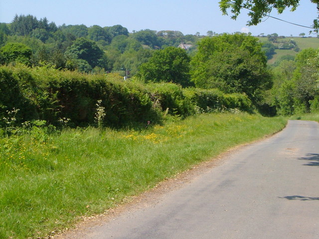
Image: © Derek Harper Taken: 8 Jun 2006
A broad verge along this lane which reached a high point and is about to descend to the junction at Old Rectory Cross. Ahead is a final slope of farmland and trees before the open moor, with the farmhouse at North Creaber visible.
Images are licensed for reuse under creativecommons.org/licenses/by-sa/2.0
Image Location
Latitude
50.679299
Longitude
-3.889355