Carse land, Gogar
Introduction
The photograph on this page of Carse land, Gogar by Richard Webb as part of the Geograph project.
The Geograph project started in 2005 with the aim of publishing, organising and preserving representative images for every square kilometre of Great Britain, Ireland and the Isle of Man.

There are currently over 7.5m images from over 14,400 individuals and you can help contribute to the project by visiting https://www.geograph.org.uk
Carse land, Gogar
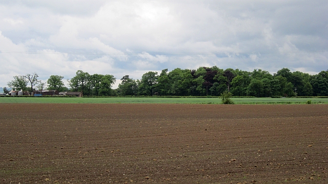
Image: © Richard Webb Taken: 17 Jun 2012
Flat farmland on the Forth flood plain contrasts with the steep crags of Dumyat behind the camera.
Images are licensed for reuse under creativecommons.org/licenses/by-sa/2.0
Image Location
Latitude
56.149235
Longitude
-3.872172