Ordnance Survey Bench Cut Mark
Introduction
The photograph on this page of Ordnance Survey Bench Cut Mark by The Saunterer as part of the Geograph project.
The Geograph project started in 2005 with the aim of publishing, organising and preserving representative images for every square kilometre of Great Britain, Ireland and the Isle of Man.

There are currently over 7.5m images from over 14,400 individuals and you can help contribute to the project by visiting https://www.geograph.org.uk
Ordnance Survey Bench Cut Mark
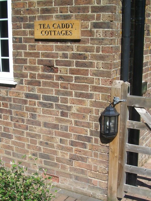
Image: © The Saunterer Taken: 19 Jun 2012
No. 2 Tea Caddy Cottages. 0.5m above ground level. Verified 1966.
Images are licensed for reuse under creativecommons.org/licenses/by-sa/2.0
Image Location
Latitude
50.986786
Longitude
-0.341013