Roadside cottages at Llwynmawr
Introduction
The photograph on this page of Roadside cottages at Llwynmawr by John Haynes as part of the Geograph project.
The Geograph project started in 2005 with the aim of publishing, organising and preserving representative images for every square kilometre of Great Britain, Ireland and the Isle of Man.

There are currently over 7.5m images from over 14,400 individuals and you can help contribute to the project by visiting https://www.geograph.org.uk
Roadside cottages at Llwynmawr
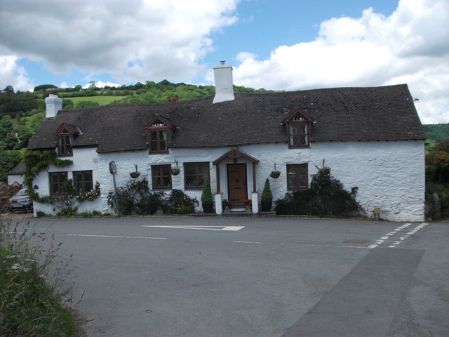
Image: © John Haynes Taken: 19 Jun 2012
This very old row of gentrified cottages, which probably used to serve some function associated with the Inn at this ancient cross roads, is now one house.
Images are licensed for reuse under creativecommons.org/licenses/by-sa/2.0
Image Location
Latitude
52.924883
Longitude
-3.154545